

3D Ski Maps, Slope Data
& Run Tracking
Explore the mountain in 3D, download resort data and record your ski runs with GPS. Live group positions require connectivity; offline, the last synchronized position can remain visible.
Product inquiries & partnership opportunities
See the App in Action
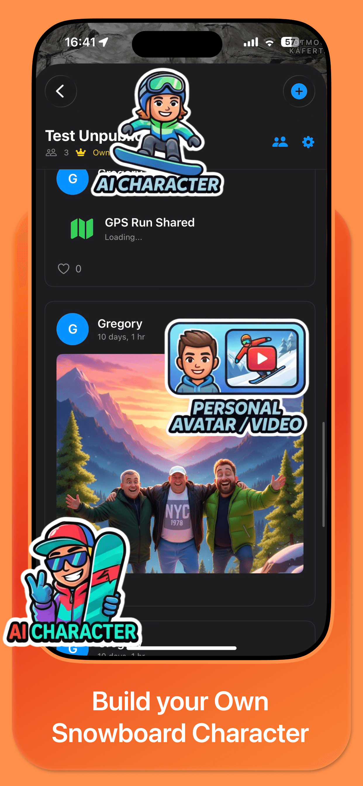
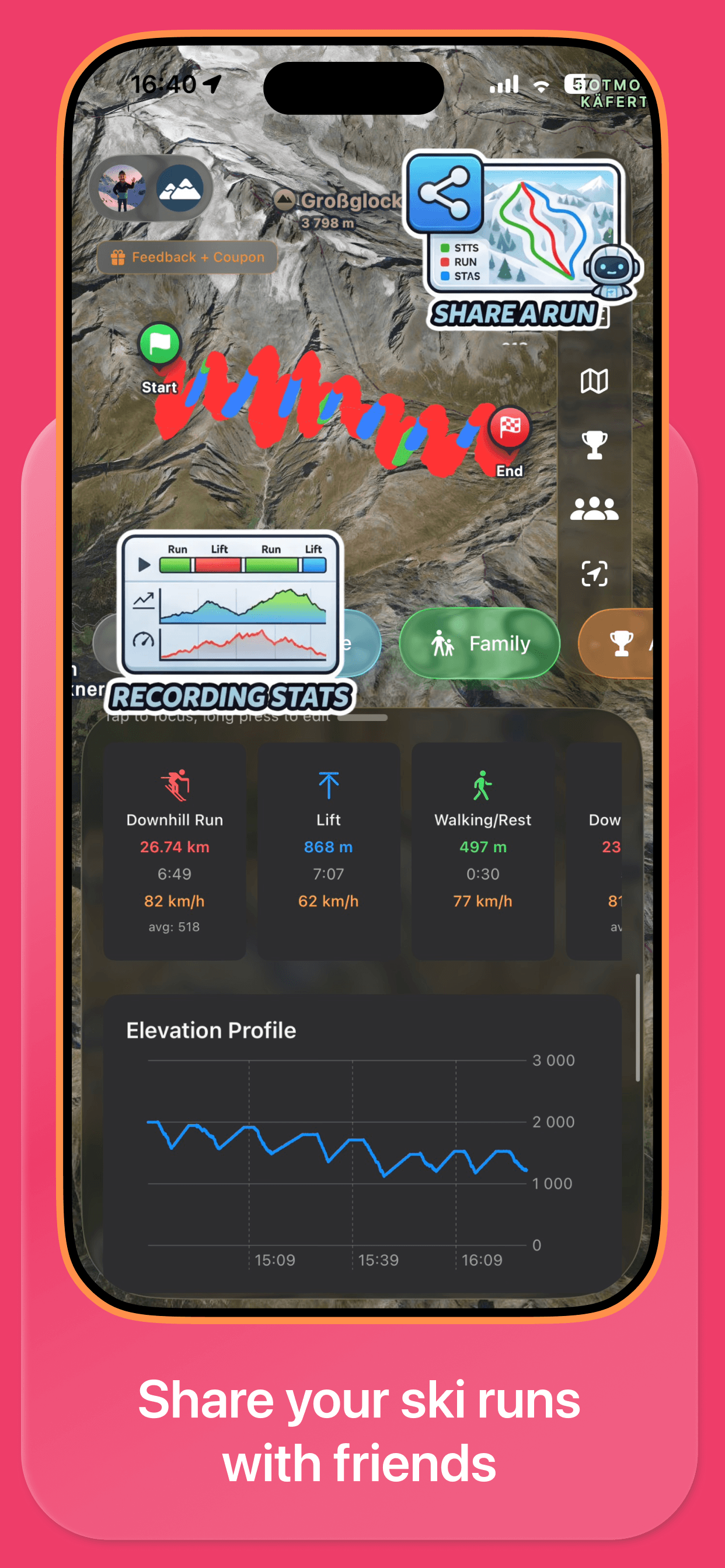
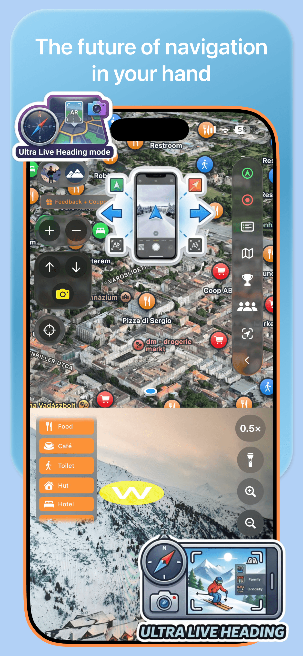
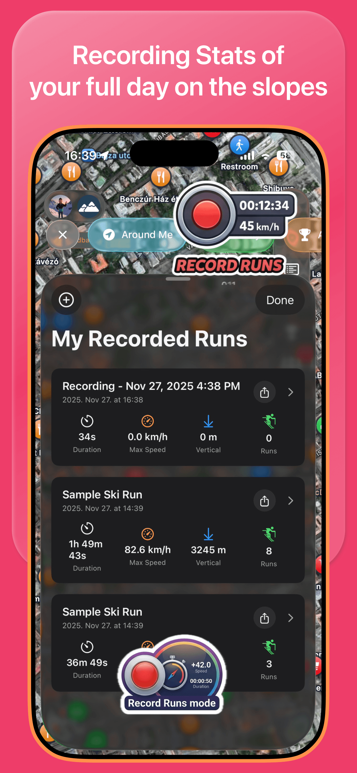
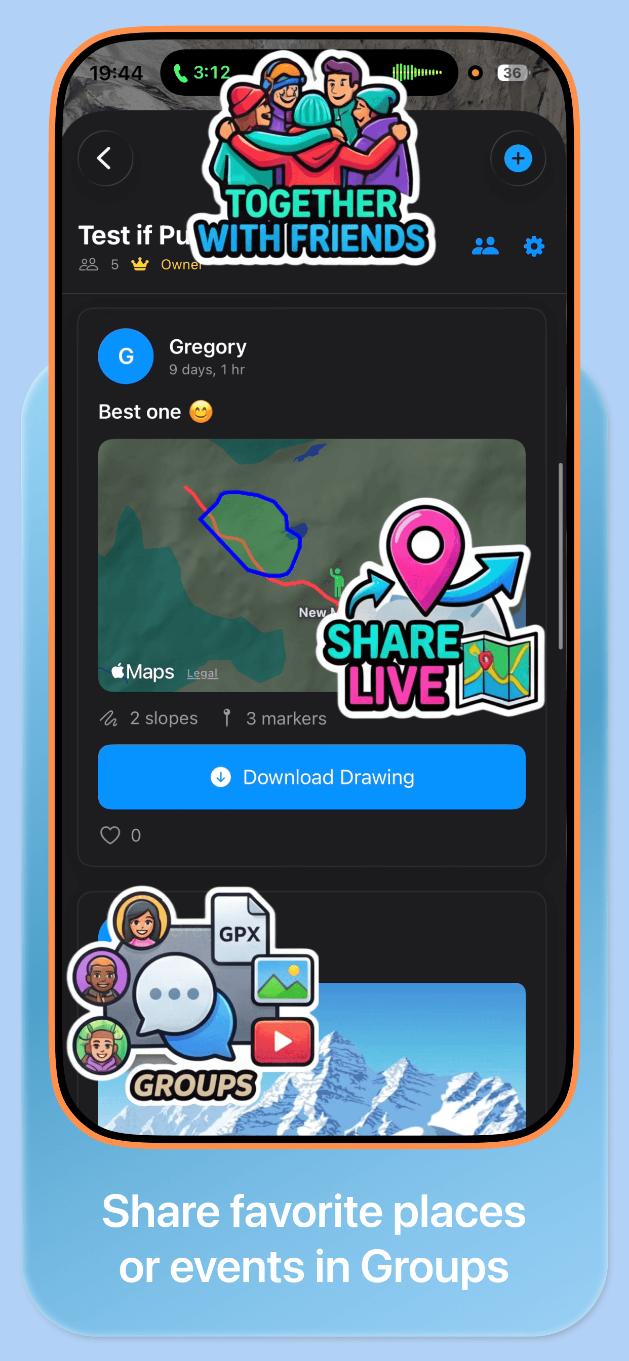
Explore slopes, track your rides, and connect with fellow riders — all from your pocket.

Find your mountain
1,414 resorts in 40 countries — 52,667 mapped run segments and 11,823 lifts in the 2026-07-13 coverage snapshot. New data is added continuously.
Les 3 Vallées
826.8 km pistes · 1339 runs · 170 lifts
Paradiski
539.9 km pistes · 924 runs · 163 lifts
Alpe d'Huez Grand Domaine
175.4 km pistes · 300 runs · 74 lifts
Whistler Blackcomb
365.1 km pistes · 804 runs · 32 lifts
Tignes - Val d'Isère
303.1 km pistes · 421 runs · 91 lifts
Evasion Mont Blanc
299.7 km pistes · 440 runs · 107 lifts
Three practical tools for a ski day
Works in airplane mode
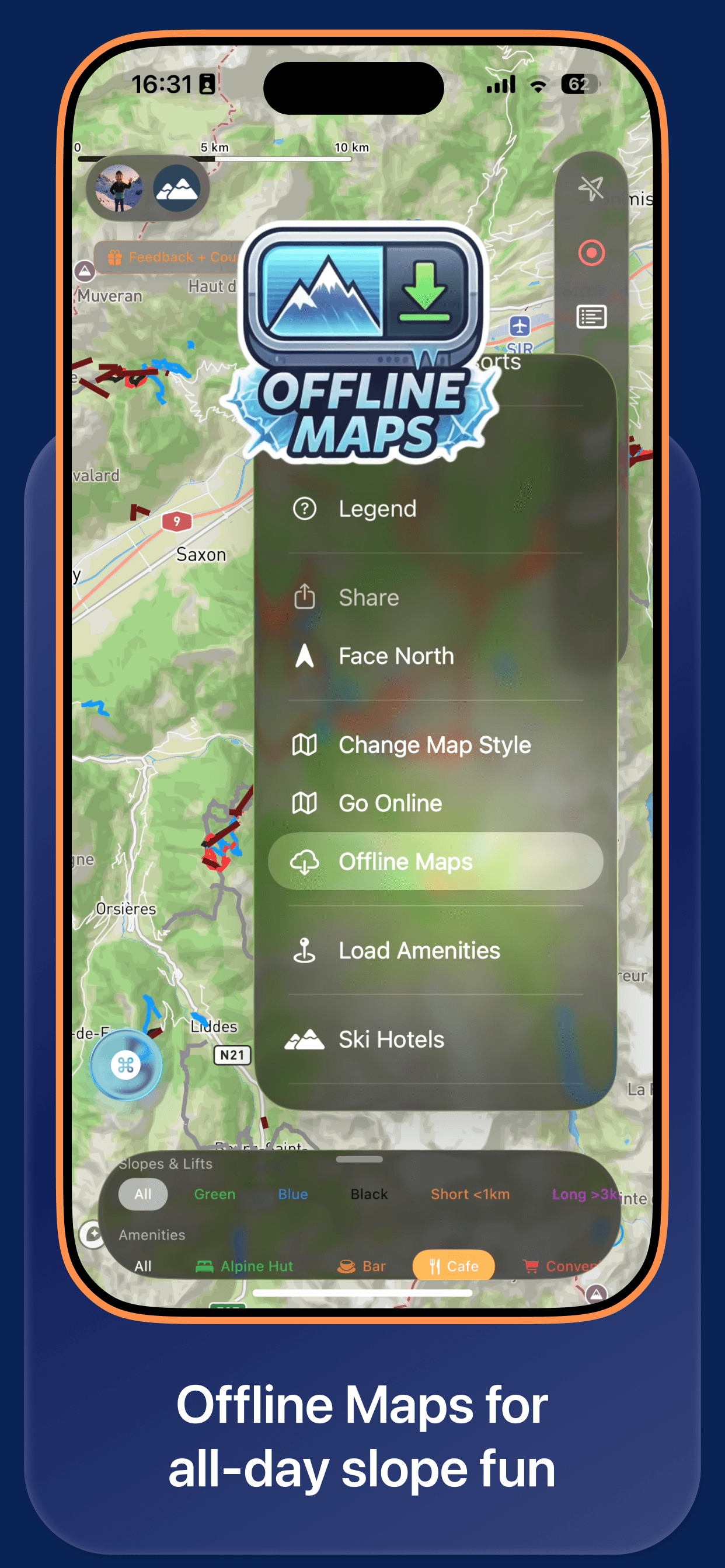
Download a resort pack and the full 3D map — terrain, runs, lifts, your position — keeps working where the network gives up. That’s most of the mountain.
Offline ski mapsOptional group positions while skiing
When group sharing is enabled, positions update on the resort map while skiing. Live updates need a connection; offline markers show the last synchronized position until connectivity returns.
Your data, your deviceThe guidebook layer
Hand-written resort stories — signature runs, local tips, where the snow stays cold. The guidebook function skiers lost when FATMAP shut down, reborn.
The FATMAP alternativeAvailable Bonvo Ski features
Interactive 3D maps, slope and lift information, resort search, downloaded map data and user-started GPS run recording.
See the Mountain in True 3D
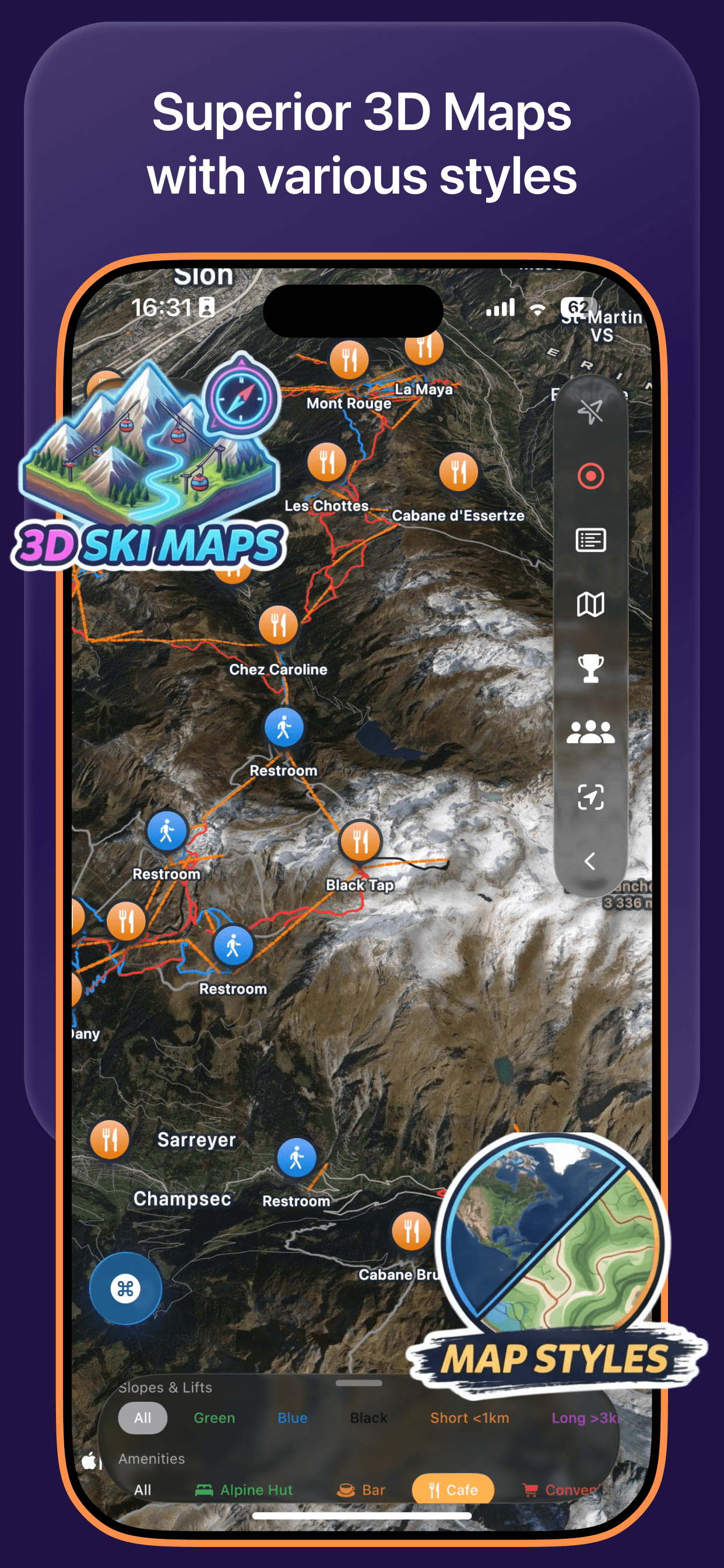
Effortlessly tilt and rotate the map to understand the terrain. Analyze slope steepness and profile with a simple click and drag. Our interactive 3D model brings every mountain to life.


Find Your Perfect Slope
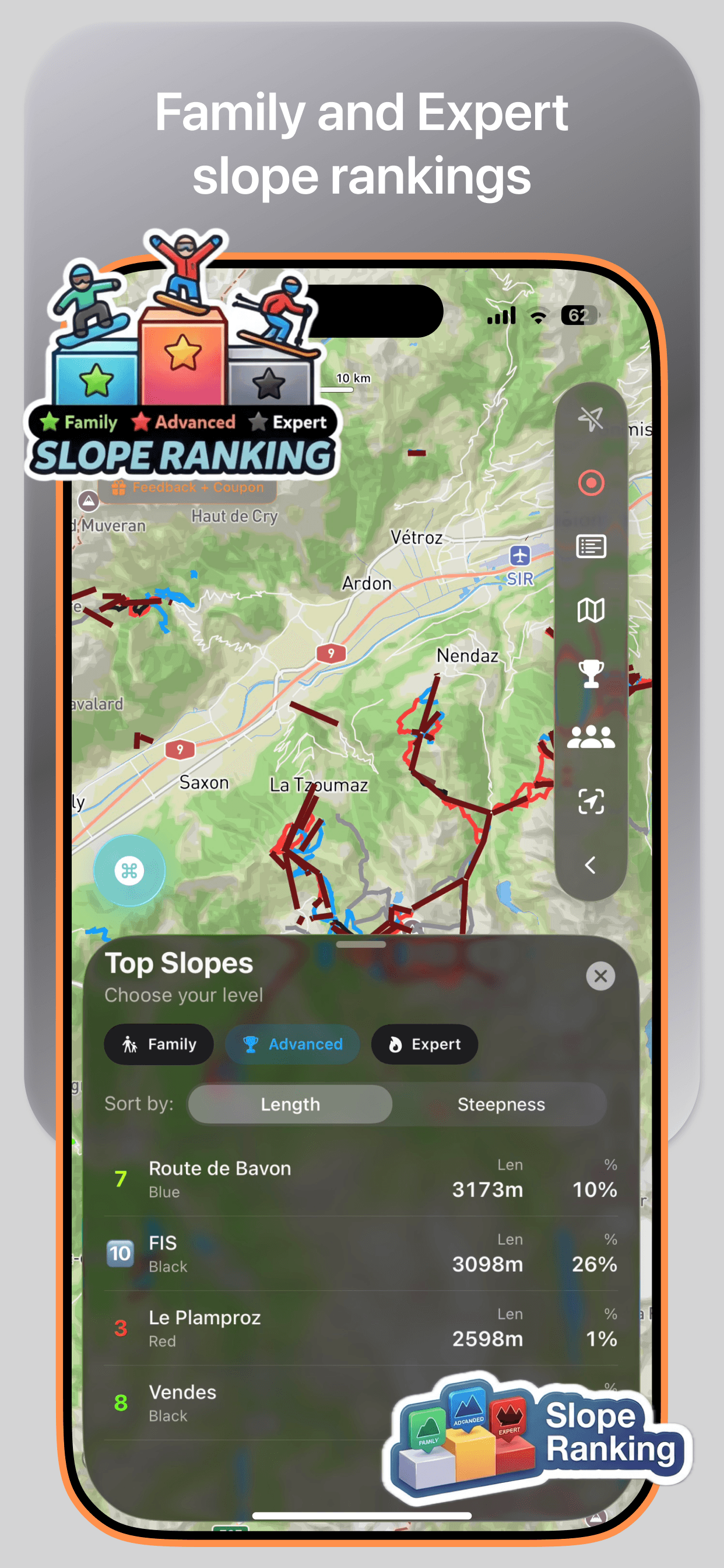
Get in-depth data on mapped runs. See available difficulty, length, elevation profile, and the snowboarder-friendliness score. Click on any slope to unlock a treasure trove of information.
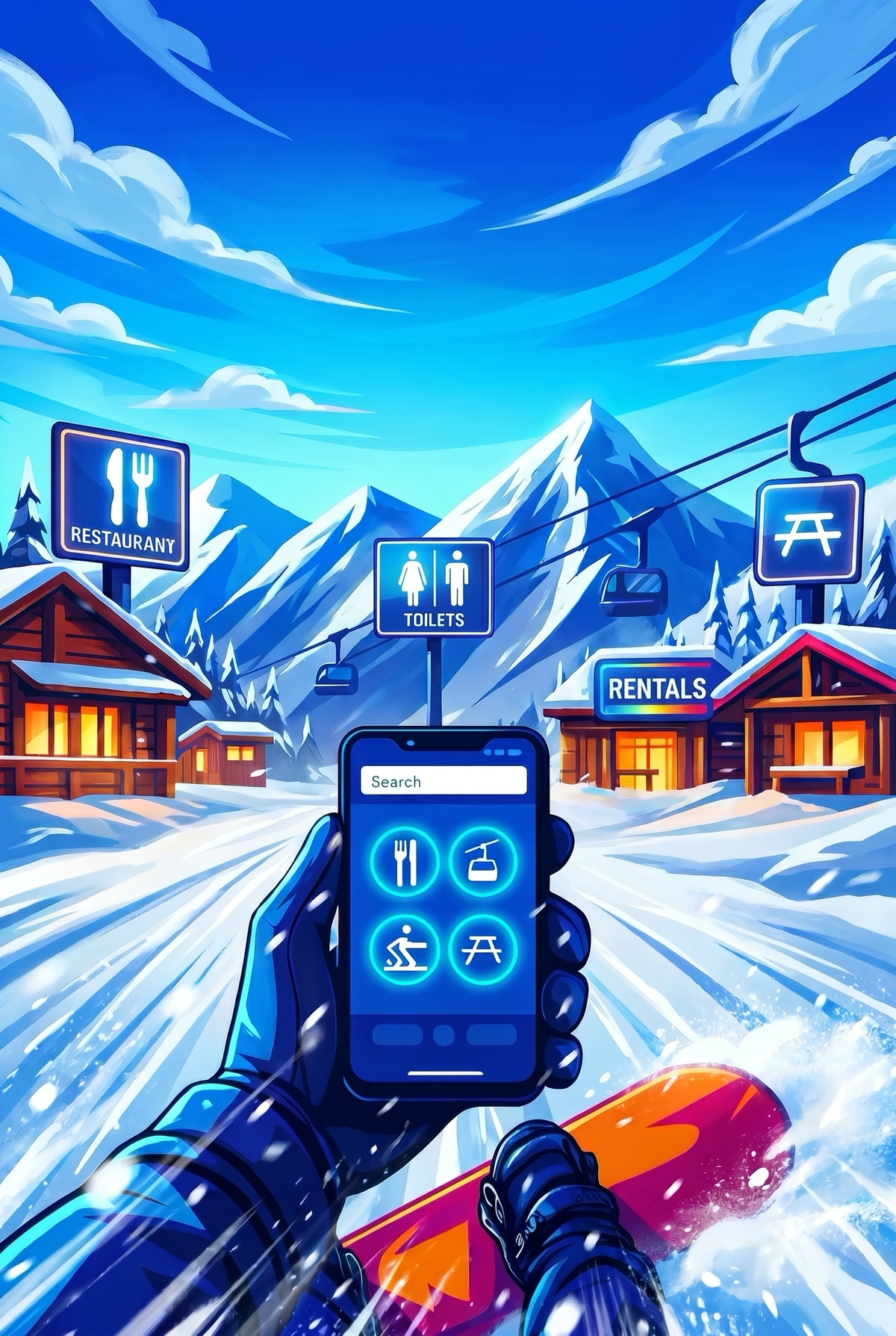
Slope information built with snowboarders in mind
We get it. Flat spots and uphills are a snowboarder's worst nightmare. That's why we built features specifically to help you find the best runs for uninterrupted carving.
Best for Snowboarders Badge
Look for our checkmark on slopes. Your quick guide to a great ride with minimal flat sections.
The Flow-Meter
Visual breakdown of the entire run: Green for perfect flow, Yellow for flat parts, Red for uphills.
Avoid the Walk of Shame
We tell you exactly why a slope might lose points, so you know what to expect before you ride.
What Bonvo Ski provides today
True 3D Resort Maps
Tilt, rotate and zoom real terrain for any supported ski resort. Understand the mountain before you ride.
Works Offline on the Mountain
Download maps before you go. No cell service needed once you hit the slopes.
Detailed Slope Analysis
Tap any run to see difficulty, elevation profile, length and snowboard-friendliness score.
Built for Snowboarders
The Flow-Meter and "Best for Snowboarders" badge help identify mapped flat spots and uphills.
Free to ski with, Summit Pass for power tools
Bonvo Ski is free to ski with: 3D maps, offline maps, friends on the map and basic run recording cost nothing. Summit Pass unlocks power tools such as unlimited recordings, drawing tools, advanced stats and AI Snow Studio. Availability can vary by platform, release and region.
Growing Resort Coverage
Alps-wide coverage with resorts in France, Austria, Switzerland, Italy and more added regularly.
Frequently Asked Questions
Is the Bonvo Ski app free?▼
Bonvo Ski is free to ski with: 3D maps, offline maps, friends on the map and basic run recording cost nothing. Summit Pass unlocks power tools such as unlimited recordings, drawing tools, advanced stats and AI Snow Studio. Availability can vary by platform, release and region.
What does Bonvo Ski include?▼
Bonvo Ski includes interactive 3D resort maps, slope and lift information, downloaded resort data and user-started GPS run recording.
Does Bonvo Ski work offline?▼
Downloaded maps, resort data, the user's GPS position and run recording can work without mobile service. Live group positions require a connection; offline, the last synchronized position may remain visible until connectivity returns.
Which ski resorts does Bonvo Ski support?▼
The 2026-07-13 coverage snapshot contains 1,414 resorts across 40 countries, 52,667 mapped run segments and 11,823 lifts. Browse the resort directory.
Is Bonvo Ski available on Android?▼
Bonvo Ski is currently available on iOS. The Android app is coming this season (winter 2026/27). Until then, the web map at bonvo.ski works on any phone.
Ready to Hit the Slopes?
Download Bonvo Ski on iOS. The Android app is coming this season.